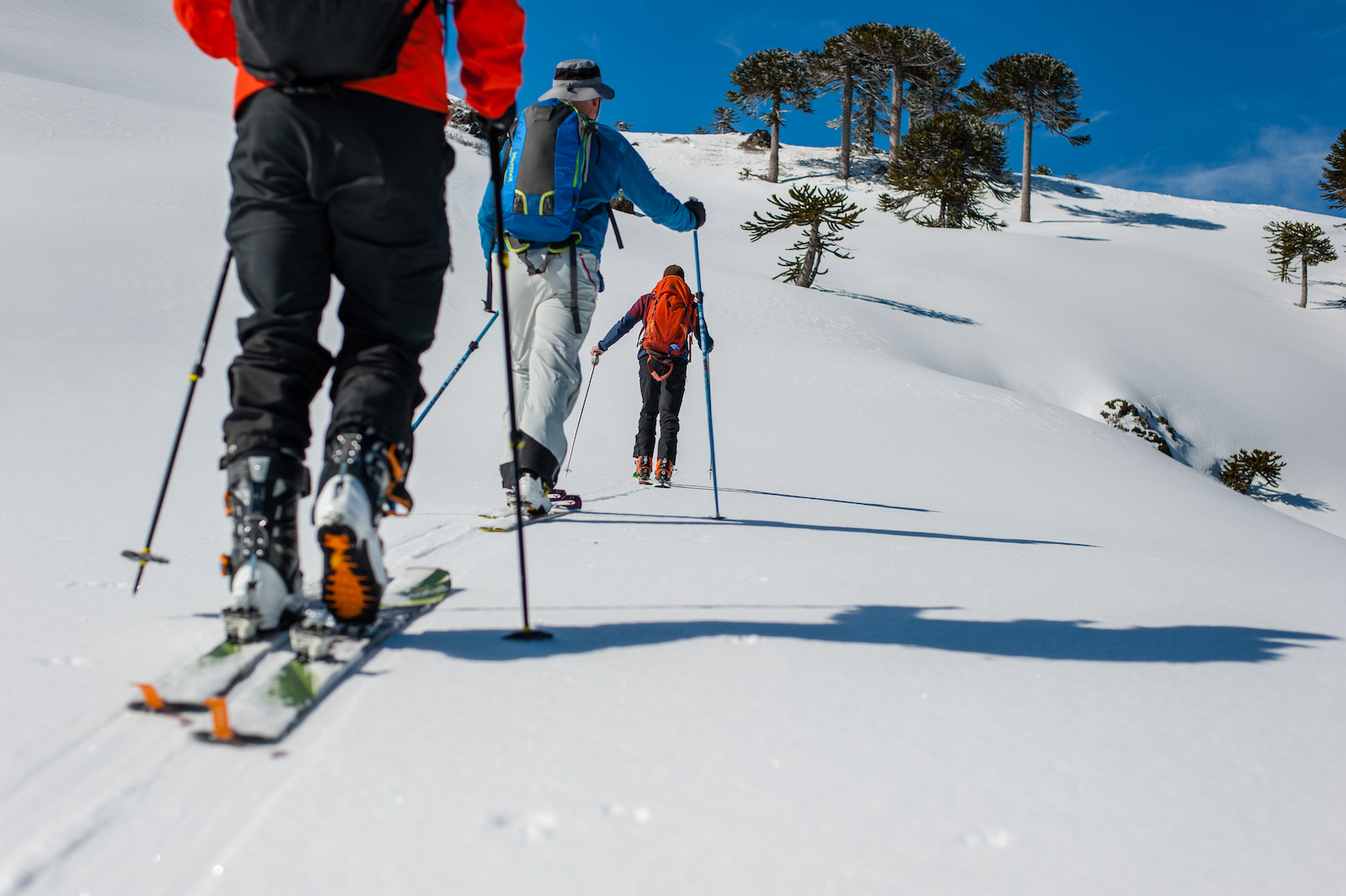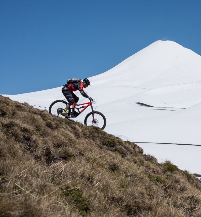


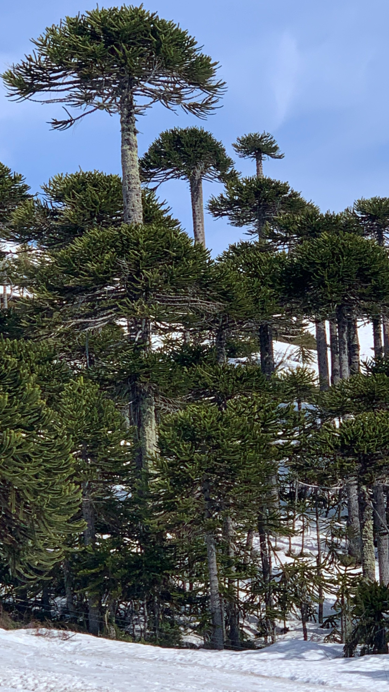
Quetrupillán and Villarrica volcanoes stand out, with heights greater than two thousand meters above sea level, the latter being characteristic for having a winter center.
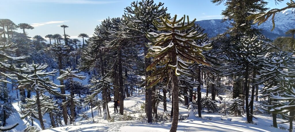
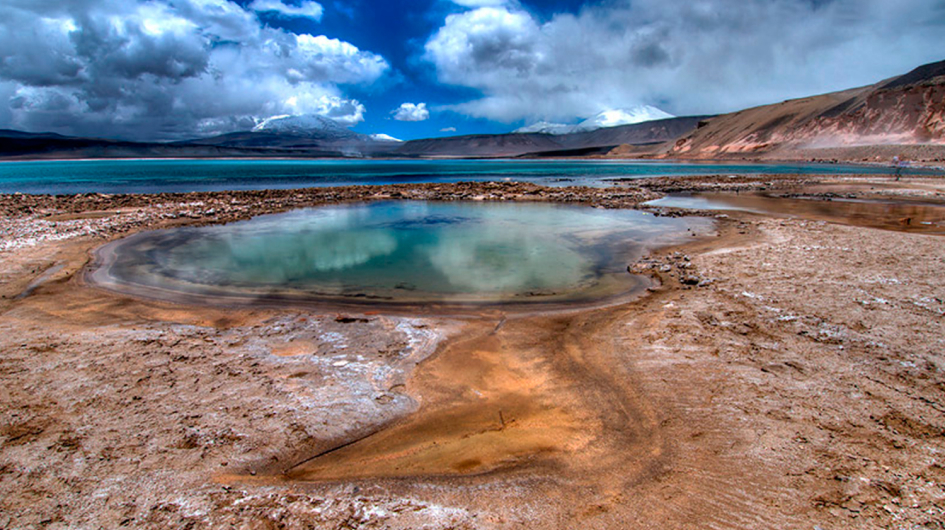
 VILLARRICA NATIONAL PARK - CHILE
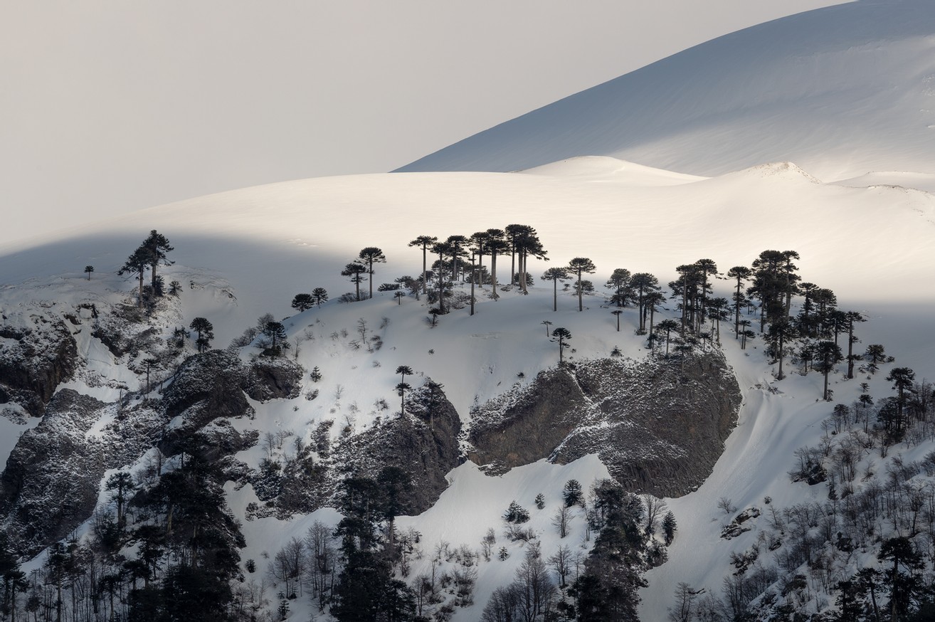